GPS Map Live Earth Camera
-
4.8
-
Developer
Antares App
-
Category
Maps & Navigation
-
Version
1.0.7
-
Android OS
Varies with device
-
Downloads
750M
-
Content rating
0
Pro
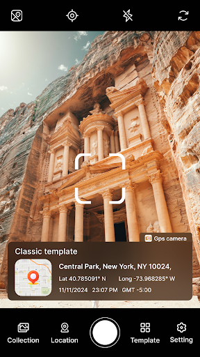
1. Real-Time Navigation: GPS Map Live Earth Camera provides real-time navigation assistance, ensuring accurate and timely route guidance for users.
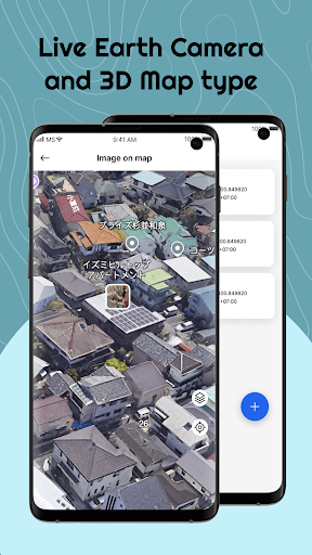
2. Live Earth View: The application offers live streaming of Earth from various satellites, giving users a dynamic and up-to-date view of different locations worldwide.
3. Enhanced Local Information: It offers detailed local information, including points of interest, traffic conditions, and weather updates, enhancing travel planning and daily commutes.
Con
1. Privacy Concerns: The GPS Map Live Earth Camera application can potentially expose users' location data, leading to potential privacy violations if the data is accessed by unauthorized parties.
2. Battery Drain: Continuous use of GPS and camera functions significantly drains the device's battery, reducing its overall operational time.
3. Data Usage: High-quality live maps and camera streams consume large amounts of mobile data, which can lead to increased data plan costs or reduced connectivity in areas with limited coverage.
Screenshots